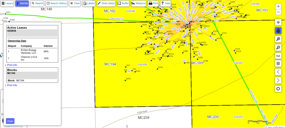
Lease Owner Data – Historical
The Lease Owner Historical report shows ownership history for a given lease or area/block in the federal Gulf of Mexico. Data fields include area/block, lease #, lease status, group code, owner name, GWI (gross working interest) percentage, water depth, bid system (royalty), effective date, approval date and operator name(s)
Below is a file layout for historical Lease Owner Data:
| Field (Abbreviated) Name | Name | Description |
|---|---|---|
| AR/BLK | Area Code & Block Name | The Area Code and designated OCS Block Number of the well at the surface location. |
| LEASE # | Lease Number | The number assigned to a lease by the regulatory agency having jurisdiction over mineral activity in the territory where the lease is located. |
| LEASE STATUS | Lease Status | Identifies the development stage of the lease as assigned by the MMS's Office of Leasing & Environment. |
| GROUP | Owner Group Code | Indicates different percentage ownerships within a lease as a result of a partial assignment (aliquot). |
| OWNER | Owner | The abbreviated name of the lease owner. |
| GWI | Gross Working Interest | The lessee's financial interest in a lease. |
| WATER DEPTH | Water Depth | The average vertical distance from mean sea level to the sea floor for a block. |
| BID SYSTEM | Bid System Code | Indicates the method by which royalties are determined for a lease or potential lease. |
| EFFECT DT | Assignment Effective Date | The date a lease assignment becomes legally effective. |
| APPROV DT | Assignment Approval Date | The date an assignment of interest is approved by the Minerals Management Service (MMS), and the official MMS records are changed. |
| OPERATOR | Operator | The official designated operator of the lease. |
We also offer mapping of Lease Data as well as area/block, platforms, wells, pipelines, units and more.